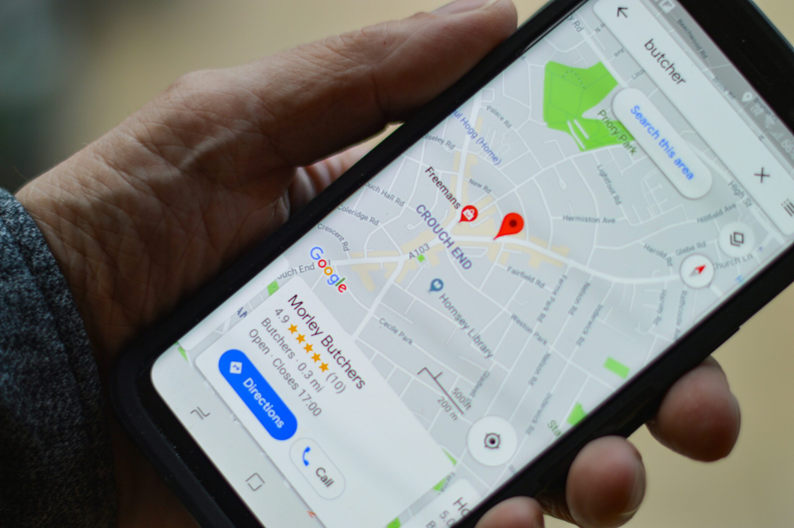
Introduction – 10 Alternative Platforms for Google Maps
While Google maps is certainly the most popular option for online maps it is by no means the only one. There are a number of reasons you may want an alternative to Google Maps including the privacy issues presented by Google as a company over the years or the sheer market dominance they have on mobile and other markets.
Or perhaps you just want to see what else is out there so you can free yourself from Google Maps and use some good alternatives. This compilation includes several different apps ranging from commercial free applications to open source ones you can use on Android and iOS devices along with desktop devices via the browser.
Option 1: OpenStreetMaps
The OpenstreetMap project is probably one of the oldest most well known alternatives to Google Maps and is a non-profit intuitive designed to provide a free Creative commons licensing arrangement making it accessible to anyone as long as they credit the website.
Steve Coast established the OpenStreetMap Foundation in 2004 to promote the creation, development, and dissemination of open geographic data. The project began with mapping the United Kingdom and eventually expanded to include road data sets for the Netherlands, India, and China. By 2007, OpenStreetMap had 9,000 registered users and had completed the import of the US Census TIGER road dataset. Oxford University was the first significant entity to use OpenStreetMap data on its primary website. In 2008, the project got venture capital funding for developing tools to export data and power portable GPS units. Other big websites, including Yahoo!, Bing, and DigitalGlobe, used aerial photography and satellite imagery to create maps. In 2012, Google Maps price prompted some websites to migrate to OpenStreetMap.
Competitors include Foursquare and Craigslist. In March 2020, Facebook launched “Daylight Map Distribution,” a quality-checked version of OpenStreetMap. The Linux Foundation established the Overture Maps Foundation in December 2022, with the goal of powering present and future map products by developing open map data that is reliable, easy to use, and interoperable. In July 2023, Overture released an alpha dataset to allow navigation, local search, and other applications.
Option 2: Maps.me

Maps.me is another popular mapping platform owned by the Russian technology company Mail.ru group which owns many popular Russian websites like the social network VK and email service Mail.ru along with other web services.
Siarhei Rachytski, Viktor Govako, Alexander Borsuk, and Yury Melnichek originally founded Maps.me. 2.5 million users were onboarded globally by MapsWithMe under Alexander’s direction and the platform has continued to grow in recent years and also makes use of OpenStreetMap data for offline navigation and map data.
The application was first made available as open source software in September 2015 A free and open-source version was also made available on F-droid. Eventually, the application was purchased by Daegu Limited, a payment processor that is a part of Parity.com, which altered its user interface and content. In response, Alexander Borsuk and Viktor Govako, the former founders of MapsWithMe, released an open source fork called “Organic Maps,” which was free of advertisements and trackers.
Option 3: Bing maps

Bing Maps is Microsoft’s competing service offering to Google Maps and is tightly integrated into the Windows Operating System and Bing search engine and has comparable functionality and also makes use of OpenStreetMap data in addition to other datasets both free and commercial.
Bing Maps, originally known as MSN Virtual Earth in 2005, was a continuation of Microsoft technologies such as MapPoint and TerraServer. It included aerial photos but lacked features like bird’s-eye view and 3D mapping. In December 2005, it was replaced by Windows Live Local, which utilized Pictometry International technology. In 2006, Microsoft introduced 3D map viewing and relaunched Live Search Maps as Bing Maps. In 2010, Microsoft included an OpenStreetMap layer in Bing Maps. Nokia powered key portions of Bing Maps between 2012 and 2012. In 2020, it was revealed that the Bing Maps Platform’s base map data would come from TomTom.
Option 4: Rand McNally

Rand McNally is an American technology and publishing firm that makes mapping, software, and hardware for the consumer electronics, commercial transportation, and education industries. The corporation is based in Chicago and has a distribution hub in Richmond, Kentucky.
The origins of the company go back many years pre-internet when the company made physical maps and Atlases before getting into the online map space. Despite being one of the oldest companies in this article its service is not very big or popular but we still wanted to mention it on our list due to been a longstanding alternate solution.
Option 5: Yandex maps

Yandex Maps is another popular mapping service in Europe owned by the Russian search engine company Yandex which like Google is also involved in other verticals like email, cloud storage and more.
The program formerly exclusively provided maps of Russia and Ukraine, but it now includes world maps. Detailed maps were first given for Moscow, Saint Petersburg, and Kyiv. Originally, the application could only be used to search for establishments, not addresses.
Maps are offered in four formats: maps, satellite images, satellite pictures with captions, and legend (hybrid). Users can calculate distance and get instructions by dragging between locations on a map. The search function is accessible for both geographical objects (addresses, streets, cities, regions, and countries) and organizations. After finding the organization on the site, you may view the illumination of the district, city, or region.
Option 6: MapQuest

Cartographic Services, a branch of R.R. Donnelley & Sons, developed MapQuest in 1967. Later, the company changed its name to GeoSystems Global Corporation. At first, the business concentrated on mapping and driving directions. MapQuest relocated to Denver, Colorado, in response to the increasing need for online spatial applications, and there it created a comprehensive collection of geographic tools. After going public in 1999, MapQuest was purchased by America Online for a sum of $1.1 billion. In 2004, the company also introduced MapQuest Find Me, a buddy-finder service with GPS capability. In order to enable users to plan driving routes on MapQuest.com and communicate their destination to OnStar’s turn-by-turn guidance service, MapQuest teamed with General Motors’ OnStar in 2007. 2010 saw MapQuest unveil plans to use open-source mapping data and become the first significant mapping website to do so.
Additionally, the business unveiled “My Maps” personalization, which lets customers customize their user interface. Brian McMahon took over as MapQuest’s General Manager and CEO in July 2012. MapQuest was acquired by Verizon Communications in May 2015 as part of their acquisition of AOL. After MapQuest’s open tile API was terminated on July 11, 2016, users like GNOME Maps were moved to a temporary free tier of the Mapbox tileserver while they looked into other options.2019 saw System1 purchase Mapquest from Verizon Media.
Option 7: Waze
By http://seeklogo.com/waze-logo-263049.html, Fair use, Link
Waze Mobile Ltd, originally FreeMap Israel, is a Google company that provides satellite navigation software for cellphones and desktops that use the Global Positioning System (GPS). The software features turn-by-turn navigation, user-submitted journey times, and route data, as well as the ability to download location-specific information via a cellular network. Waze Mobile was created in Israel by Israeli entrepreneurs Ehud Shabtai, Amir Shinar, and Uri Levine, all of whom were veterans of the Israeli intelligence unit 8200. Magma and Vertex Ventures Israel, both Israeli venture capital organizations, supplied funding, as did Bluerun Ventures, an early-stage American venture capital firm. The app earns revenue from hyperlocal advertising to an estimated 130 million users.
Waze is a free mobile app that collects user-generated map data, journey times, and traffic information. Users can report accidents, traffic bottlenecks, speed traps, and police stops, as well as edit roads and landmarks. Waze provides anonymous data back to its database to help enhance the service. Based on this data, Waze delivers routing and real-time traffic updates. It can also find the cheapest petrol station near a user or along their path, assuming fuel prices are enabled in that nation. Waze provides turn-by-turn voice navigation, real-time traffic updates, and location-based notifications. Users are encouraged to report traffic or road issues by receiving incentives such as points for their profiles.
Despite been acquired by Google the platform still operates independently under the Waze brand and mobile apps/website.
Option 8: CityMapper

Citymapper is a free public transportation app and mapping service that shows you how to get from one place to another in a city, including walking, cycling, and driving. It combines information from a variety of sources, including open data provided by transportation authorities and municipal transit authorities. Citymapper was started in London in 2011 and will grow to include 58 cities and metropolitan areas by August 2020. Azmat Yusuf, the CEO, is a former Google employee. To avoid dimly lit places, the app included a function in December 2019 that allows users to choose between “fast” routes and “main roads”. As of 2023, Citymapper services approximately 50 million customers across 100 cities.
Option 9: Sygic GPS Navigation & Maps

Next on the list is Sygic which has a well designed user interface for maps with its advantage been access to offline mapping making it a convenient option. Sygic is a Slovakian firm that develops global car navigation solutions for mobile phones and tablets. The company was created in 2004, and its headquarters are in Bratislava, Slovakia. It was the first company to provide navigation for the iPhone and the second for the Android. Sygic surpassed the 100 million download milestone for their navigation software in 2015.
Sygic navigation systems are GPS-enabled mobile devices that offer door-to-door directions, live traffic updates, police radar/speed camera warnings, parking locations, and gas price recommendations. They are available in more than 200 countries and support over 30 languages. Users can download TomTom maps for offline use, with data download sizes optimized to preserve memory. Sygic provides GPS software in over 30 languages, including Chinese, Arabic, Persian, Greek, Russian, and other European languages. In 2016, a Crowdin translation project was launched to localize the Sygic app into all languages, including Catalan, Urdu, Persian, Malay, Tamil, Latvian, and others.
TomTom Traffic provides real-time traffic information, which is collected from over 400 million drivers and updated every two minutes. GPS data is gathered from connected personal navigation devices, business fleet GPS devices, mobile phone signals, road sensors, journalistic data, cellphones, and vehicle dashboard systems. Users do not complain anything because the information is collected automatically and anonymously.
Option 10: Apple maps
Last but certainly not least on our list is Apple’s competing map service bundled across all iOS devices by default
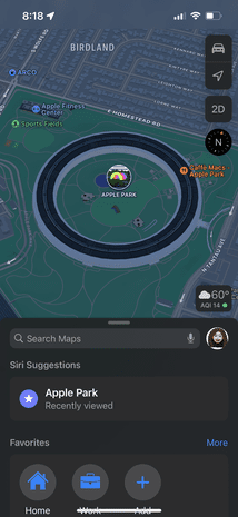
Apple Maps is a web mapping service developed by Apple Inc. that is utilized on iOS, iPadOS, macOS, and watchOS. It includes directions and estimated arrival times for driving, walking, cycling, and taking public transportation. The “Flyover” option displays urban centers and other points of interest in a 3D landscape. It was first published in 2012 and replaced Google Maps as Apple’s preferred map system. Despite initial criticism for inaccurate directions and insufficient public transit data, Apple has developed software to remedy these concerns.
The platform like Bing makes use of OpenSreetMaps as well as data sourced from other companies and datasets like TomTom.
Conclusion
We hope you found this article to be helpful and discovered some great alternatives to Google Maps you can use across your devices. Be sure to follow us on our social profiles for more and blog for more tips and resources.
You may also like:
*Image credits & References:
Ken Vermette [CC BY-SA (https://creativecommons.org/licenses/by-sa/2.0)]
Katsiaryna sazonava [CC BY-SA (https://creativecommons.org/licenses/by-sa/4.0)]
Apple Inc.SVG by CMetalCore [Public domain]
Яндекс [Public domain]
Microsoft Corporation [Public domain]
(2005). OpenStreetMap [Online]. Wikipedia. Available at: https://en.wikipedia.org/wiki/OpenStreetMap (Accessed: 26 March 2024).
“Faites connaissance avec Organic Maps, un Google Maps open source” Frandroid, 10 Aug. 2021, www.frandroid.com/android/applications/1023529_faites-connaissance-avec-organic-maps-un-google-maps-open-source. Accessed 26 Mar. 2024.
“Maps.me” Wikipedia, 24 June 2014, en.wikipedia.org/wiki/Maps.me. Accessed 26 Mar. 2024.
“Bing Maps is updating its base map data source” Maps Blog, 1 June 2020, blogs.bing.com/maps/2020-06/bing-maps-is-updating-its-base-map-data-source/. Accessed 26 Mar. 2024.
Bing Maps. Wikipedia. https://en.wikipedia.org/wiki/Bing_Maps. Published December 16, 2005. Accessed March 26, 2024.
“Rand McNally” Wikipedia, 2 Dec. 2003, en.wikipedia.org/wiki/Rand_McNally. Accessed 26 Mar. 2024.
Yandex Maps, Wikipedia (Aug. 21, 2017), https://en.wikipedia.org/wiki/Yandex_Maps.
“MapQuest” Wikipedia, 4 Sept. 2003, en.wikipedia.org/wiki/MapQuest. Accessed 26 Mar. 2024.
(2012). Apple Maps [Online]. Wikipedia. Available at: https://en.wikipedia.org/wiki/Apple_Maps (Accessed: 26 March 2024).
https://upload.wikimedia.org/wikipedia/en/d/d1/Apple_Maps_on_iOS.png
“Waze” Wikipedia, 14 Mar. 2010, en.wikipedia.org/wiki/Waze. Accessed 15 Apr. 2024.
“Citymapper” Wikipedia, 24 July 2017, en.wikipedia.org/wiki/Citymapper. Accessed 11 May 2024.
(2010). Sygic [Online]. Wikipedia. Available at: https://en.wikipedia.org/wiki/Sygic (Accessed: 11 May 2024).
Accessed May 11, 2024. https://www-sygic.akamaized.net/content/7-gps-navigation/sections-new/1-sygic-gps-navigation/gps-navi.png.
Majchrakova, Dominika. “Real-time Traffic Information – How Does it Work?” Bringing life to maps , www.sygic.com/blog/2016/real-time-traffic-information-how-does-it-work. Accessed 11 May 2024.

Alessio Rigoli is the founder of AGR Technology and got his start working in the IT space originally in Education and then in the private sector helping businesses in various industries. Alessio maintains the blog and is interested in a number of different topics emerging and current such as Digital marketing, Software development, Cryptocurrency/Blockchain, Cyber security, Linux and more.
Alessio Rigoli, AGR Technology
![logo-new-23[1] logo-new-23[1]](https://cdn-ihdfn.nitrocdn.com/eZVJvoSTyVixkEUySRKiaseNtUlmgCyu/assets/images/optimized/rev-e93b6b3/agrtech.com.au/wp-content/uploads/elementor/thumbs/logo-new-231-qad2sqbr9f0wlvza81xod18hkirbk9apc0elfhpco4.png)
